Finally on the South Island! We set out early morning on the 15th of January to catch the 6am ferry to Picton. The ferry takes 3,5 hours and we were lucky to have perfect weather during the crossing through Cook Strait. A couple of fellow hikers joined as well and were set to start on the same day. Upon arrival we left straight to the post office to send resupply boxes for the next couple of sections and month on the trail. After the post office we arranged a water taxi for the same day to Ship Cove to start our first section, Queen Charlotte Track. The water taxi also serves as the post boat through the Malborough Sounds so before dropping us we first had to make a couple of stops to deliver and pick up post. Once we reached Ship Cove, we were ready to begin our tramp on the South Island. Captain Cook used to keep his two ships in Ship Cove for the storms so the place is rather historical. The Queen Charlotte Track is one the most beautiful coastal walks in New Zealand and it takes you through the Sounds bay-by-bay. The ocean water is more of a turgose colour and clear. We managed to do a conservative 10km on the first day and met a whole bunch of new people. Despite our longish break in Wellington, we felt strong enough and ended up walking the 71km trail in two days. The trail was very lovely, easy-going and had such gorgeous views that we didn’t even think about the distance. On the second day we stopped on a quiet beach for a lunch break and swim – this magical moment reminded why we are on this trail.


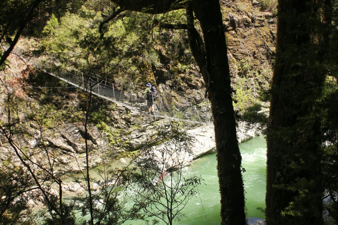
However, the sunny days do not tend to last forever in this country and already the next day we were hit by rain as we tramped out of the trail to a road walk to Havelock. In Havelock we waited out the rain and got our first bounce box for the Pelorus River and Richmond Ranges. These two sections together can take up to 10 days if one is unlucky with the weather. Once again, we managed to finish the river section in two days instead of the recommended three to four days. The Pelorus River is one the TA highlights with its chrystal clear blue water. The water levels were quite high due to the rain but we were happy to have swing bridge crossings which enabled to get through the section.

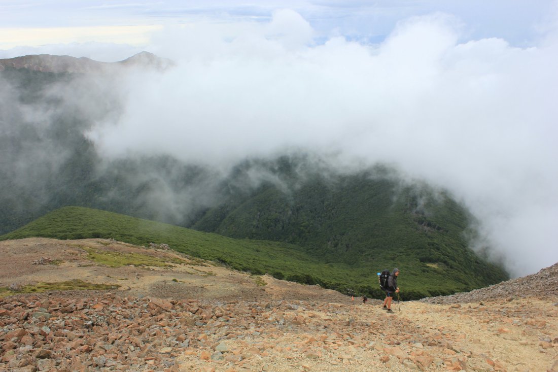
Despite the beauty of the Pelorus River, we had our minds already fixed on the next section – the notorious Richmond Ranges. As the trail notes describe, the Richmond Alpine Track is rugged, though well marked, unformed in places. The summits are consistenly above tree-line and the track has some pretty steep ascents and descents. On top of this, the weather plays a significant role in the safety of tramping this track. We were once again lucky enough to get good weather to head into this section. On our first day we hiked from Hacket Hut to Old Man Hut which included a big climb and walk on the ridgeline. On this section we already realised that in New Zealand there is a fine line between tramping and mountaneering, we found ourselves suddenly bouldering on rocky edges as a big cloud was approaching our direction. When we got to Old Man Hut, we felt so tired but glad to have made it this far.

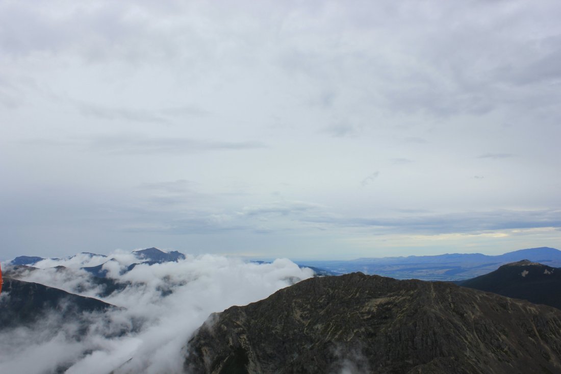


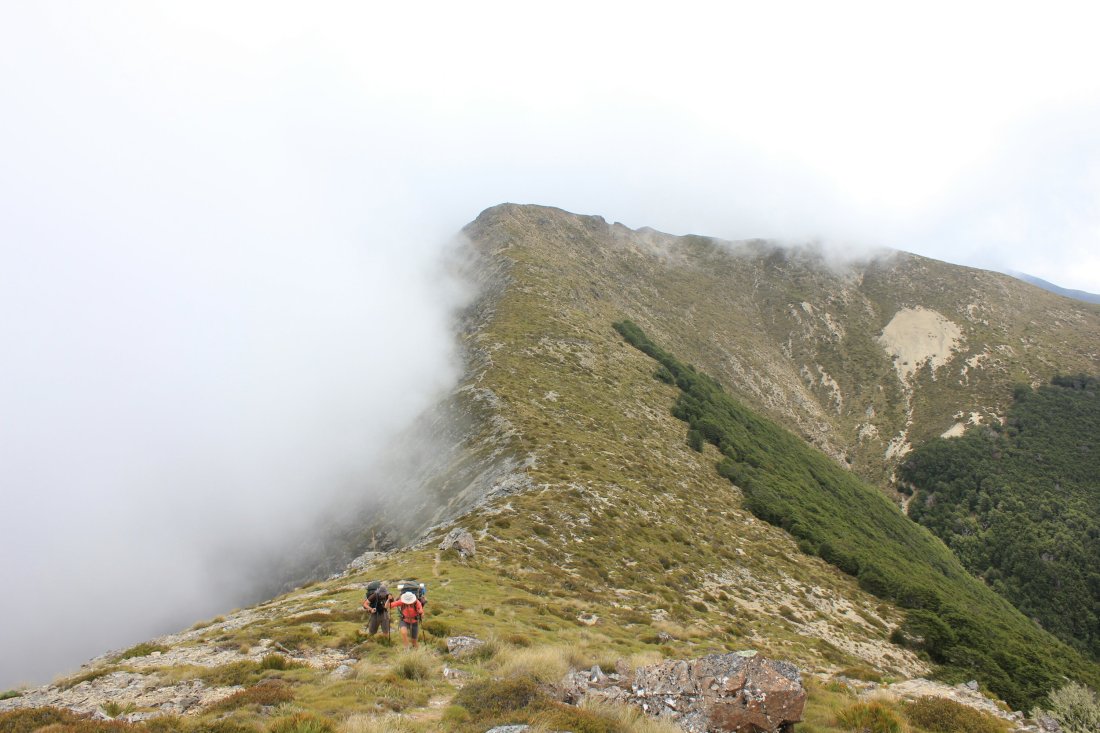
The next day entailed the toughest portion of the ranges; two summits with steep climbs and descents and descenting on a steep scree slope. In the morning as we began our climb, the wind started picking up and was partly very strong. Once we got to the other side between the Little Rintoull and Mt. Rintoull, the wind eased up but the tramp required more focus. We were rewarded with some amazing views from the top which made it all worthwhile! We continued all the way to Tarn Hut which was situated by a magical little mountain lake. The following day the trail dropped significantly and took us next to Wairoa River for a whole day. This didn’t make the trail any easier as the path was partially deteriorated. Several river crossing provided us with some nice swimming moments which came in need on a hot day. As soon as we left the river, the landscape started changing into a more deserted and harsh environment. The next day from Top Wairoa Hut began with a climb to Mt. Ellis which has some different minerals on its top and rarely found on a surface. The more we moved further, the rougher the vegetation became. This area is called Red Hills and has a magnificent colour landscape.


Even though towards the end of the 94km ranges the altitude dropped steadily from 1700m, the track kept challenging our feet and minds. On the fifth day of the ranges we walked out back to civilization to St. Arnaud – only to escape it again to the next tough section, Waiau pass which we’ll speak about in the next blog. Love, H&F 
